
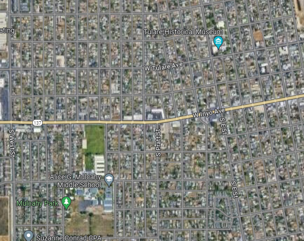
WALS Treatment Maps

Treatments are applied May ~ October                          Between the hours of 10 pm ~ 5:30 am 


Visalia WALS Treatment Maps

Visalia WALS Larvicide Map
Visalia  Midvalley  WALS Larvicide Map

Tulare WALS Treatment Maps

The image shows a neighborhood layout with streets, houses, Mission Valley Elementary School, Del Lago Park, and nearby commercial areas.
The image shows a map featuring residential streets, Live Oak Middle School, and locations like Lowe's and In-N-Out Burger.
The image shows a neighborhood layout with streets, houses, and nearby businesses such as a café, taco shop, and park.
The image shows a map featuring Tulare, California, highlighting Tulare Union High School and Tulare Cemetery.
Aerial view of a grid-patterned residential area with streets, a school, park, and historical museum marked.